


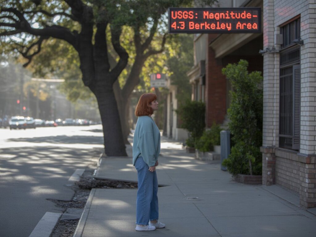
Earthquake San Francisco: a magnitude ~4.3 earthquake struck just east-southeast of Berkeley (near UC Berkeley) in the pre-dawn hours today and was widely felt across the Bay Area. There are no immediate reports of major damage or injuries, BART and other agencies ran inspections and saw short delays, and seismologists remind residents to expect aftershocks and to use official channels (USGS, ShakeAlert, local emergency pages) for authoritative updates. This guide explains everything you need — in plain English — including how to check “earthquake near me,” how ShakeAlert works, what the Hayward Fault means for Berkeley/SF, and practical safety steps for now and the next 72 hours.
1) The basic facts (what happened, when, where)
- What: A magnitude ~4.3 earthquake (initially reported as 4.6 then revised) struck the East Bay early this morning.
- When: About 2:56 a.m. PDT on September 22, 2025.
- Where (epicenter): ~2 km ESE of Berkeley — in the southside neighborhood, very near UC Berkeley and California Memorial Stadium.
- Depth: Shallow — roughly 4–8 km (~3–5 miles), which is why it was felt strongly across the region.
Why the revision? Initial automatic magnitude estimates are often updated after seismologist review — that’s normal and expected.
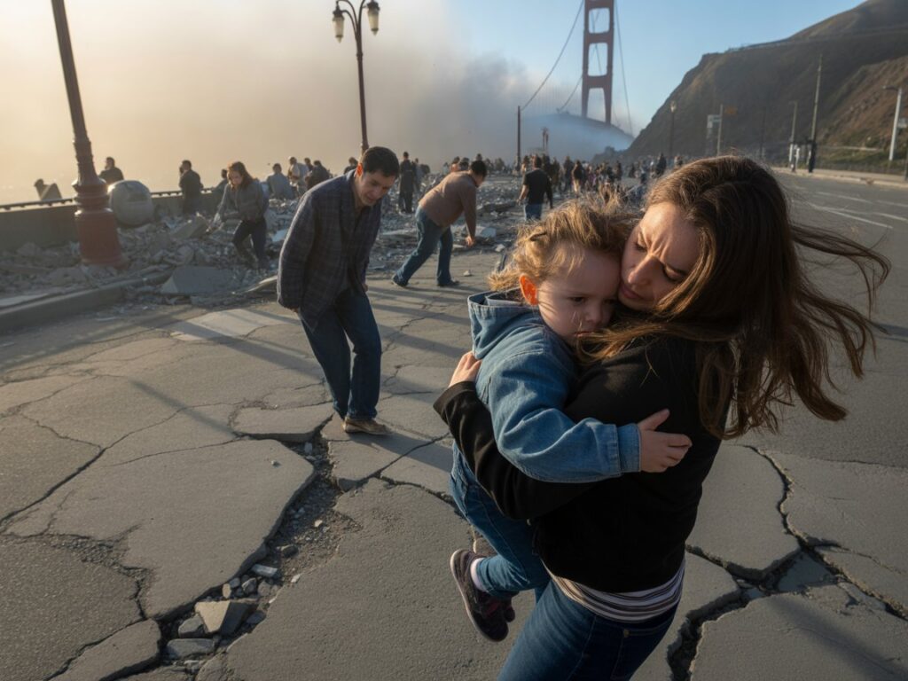
2) How bad was it — damage, injuries, public-safety response
As of this update there are no verified reports of major structural damage or deaths; emergency lines surged and first responders checked infrastructure. BART slowed service to inspect tracks and systems (expect brief delays if you used transit in the early morning). Local fire departments and city emergency teams issued damage-and-safety checks in Berkeley and neighboring communities.
If you see a gas smell, electrical sparking, or major structural damage, move to a safe location and call emergency services immediately. (See the “After the shaking” checklist below.)


3) Why Bay Area residents felt it so widely (magnitude vs depth vs local geology)
Three reasons a moderate quake like this can be felt from San Jose to Santa Rosa:
- Shallow depth. Shallow quakes transmit stronger ground motions at the surface.
- Local soil amplification. Bay mud and soft soils in parts of Oakland, Berkeley and San Francisco amplify shaking (houses on bedrock feel less than homes on filled marshland).
- Population density. The Bay Area is densely populated; more people equals more felt reports and social-media posts.
Seismologists use two complimentary scales: magnitude (energy released — the number reported like “4.3”) and intensity (human/structural effects, often expressed as Modified Mercalli Intensity). For this event the area-wide DYFI (“Did You Feel It?”) responses showed moderate shaking in the immediate East Bay and light shaking across much of the region.
4) Was this the Hayward Fault? — what the location implies
The epicenter sits very close to the Hayward Fault — a major, active strike-slip fault that runs under the East Bay and has produced damaging earthquakes historically and in models (it’s one of the Bay Area’s most dangerous faults because of population and infrastructure above it). A moderate M4 event near the Hayward Fault is not surprising, and scientists treat it as an expected, if unsettling, reminder of longer-term risk. The Hayward Fault has the potential for much larger earthquakes in the future (hazard studies show significant long-term probabilities), so local agencies use events like this to run inspections and prepare.
5) Aftershocks — what to expect, statistically
After a quake this size it’s common to have aftershocks — mostly small, but occasionally one can be larger. For M4-range events, the USGS typically reports a low but non-zero probability (a few percent) that a larger quake could follow in the next few days; more commonly you’ll see smaller M1–M3 aftershocks near the same epicenter. Expect several aftershocks in the next 72 hours; secure loose objects and be ready to Drop-Cover-Hold On again if you feel shaking.
6) How to check “earthquake near me” and get real-time, reliable alerts
Official, immediate sources are the only safe ones during a seismic event:
- USGS Latest Earthquakes map & event pages — the canonical source for magnitude, location, depth and seismologist-reviewed updates. Bookmark: USGS Latest Earthquakes.
- USGS “Did You Feel It?” (DYFI) — community reports that produce intensity maps showing where the quake was felt. Submit your report to help scientists.
- ShakeAlert® — West Coast earthquake-early-warning system (operational via partner apps and public broadcasters). Sign up for ShakeAlert-powered notifications or rely on phone/system alerts. It’s not a prediction — it warns when shaking has already started and may reach you seconds before the S-waves arrive.
Avoid relying on social posts for initial verification — they’re fast but often inaccurate about magnitude or location. Use the USGS event page for the definitive numbers.
7) What local agencies did (BART, city inspections, emergency management)
After the quake, transit agencies typically slow or halt service briefly to run safety inspections. Today BART reported system-wide slowdowns and brief delays while track systems were checked; that’s standard safety protocol and not an immediate sign of damage to the entire system. City emergency managers in Berkeley, Oakland and San Francisco staged rapid building assessments for critical structures and hospitals. Expect official updates from your city’s Office of Emergency Management over the next 24 hours.
8) What to do DURING the shaking — the one rule that saves lives
If you feel shaking: Drop, Cover, Hold On.
- Drop to your hands and knees (prevents being knocked over).
- Cover your head and neck; shelter under a sturdy table or against an interior wall away from windows.
- Hold On to your shelter until shaking stops. If you’re in bed, stay there and cover your head with a pillow. If you’re outside, move to an open area away from buildings, trees and power lines. Do NOT run for exits or elevators.
9) After the shaking — safety checklist (first 30–60 minutes)
- Check yourself and family for injuries; apply first aid.
- Inspect your home for hazards: gas smell (shut off main if you suspect leak), electrical sparks, structural cracks. If you smell gas or see a fire, evacuate and call 911.
- Expect aftershocks. Move carefully and secure your phone, and bring pets inside if safe.
- Check local official channels for evacuation orders, road closures, or shelter openings (city emergency pages and Twitter/X feeds of municipal agencies).
- Don’t use elevators until inspected.
- Limit 911 calls to real emergencies — use non-emergency lines for minor damage reports so dispatch can prioritize life-safety calls.
10) If you’re away from home — at work, on the freeway, or in BART
- Work/buildings: Drop-Cover-Hold On under a desk or against a load-bearing wall. After shaking, follow your workplace evacuation plan and stay out until building inspectors or authorities say it’s clear.
- Driving: Pull over safely, stop away from bridges/overpasses, and remain in the car until shaking stops. Avoid stopping on or under bridges if possible.
- BART/transit: Stay seated; follow staff instructions. Transit agencies will inspect and resume service when safe. Expect delays on early morning commutes.
11) Earthquake science 101 — magnitude, intensity, and why a 4.3 can feel dramatic
- Magnitude (e.g., M4.3) measures the energy released at the source — a single number.
- Intensity (Modified Mercalli) measures shaking effects at a location (light, moderate, strong). Intensity varies with distance, depth and local soil. A shallow M4.3 near a city can produce MMI V (moderate) close to the epicenter — enough to wake people and shift objects. USGS ShakeMaps and DYFI intensity maps show how intensity varies across neighborhoods.
12) Hayward Fault long-term risk and what it means for you (planning, not panic)
The Hayward Fault is one of the Bay Area’s most studied hazards; geological and probabilistic studies show a meaningful long-term probability of a larger rupture compared with many other faults — that’s why local governments require retrofits on some buildings, maintain rapid-response plans, and run frequent exercises. Today’s event does not mean an immediate M7 is inevitable — small earthquakes are common and part of the fault’s behavior — but they are a reminder to check your emergency kit and household plan.
13) Practical checklist — if you’re preparing (24–72 hours)
- Emergency kit: water (3 days minimum), nonperishable food, flashlight, batteries, radio (battery or crank), first-aid kit, medications, copies of important documents, cash.
- Family plan: pick an out-of-area contact, set meetup locations, and know your neighborhood’s evacuation/shelter points.
- Home prep: strap water heater, secure tall furniture, mount heavy items (TVs, bookcases), and place heavy objects low to the ground.
- Pet plan: ensure carriers, food and medical records are ready.
- Vehicle fuel: keep tank at least half full if possible for evacuation and generators.
14) How to report what you felt (science + civic value)
- Report to USGS “Did You Feel It?” (DYFI) — your reports help build rapid intensity maps and are valuable to scientists and emergency managers. Submit a report even for mild shaking.
Local agencies will use combined sensor + public reports to prioritize inspections and response.

15) Where to go for official, verified updates (only use these)
Use only official, authoritative sources (bookmark them now and re-check as the situation evolves):
- USGS — Latest Earthquakes / event pages & ShakeMap. (real-time magnitude, location, depth, shake maps).
- California Geological Survey and SCEDC (Caltech) — regional seismic bulletins and local fault maps.
- Local city emergency management pages: City of Berkeley, City of Oakland, City & County of San Francisco emergency pages (for closures, shelters, official advisories). (Search your city’s official site.)
- Local news outlets (AP, SF Chronicle, SFGate, ABC7, NBC Bay Area, KTVU) — for local responses and transit updates. Use them for context, but rely on USGS for the seismic numbers.
Quick FAQ (fast answers)
Q — Was that the big one?
A — No evidence today of a major, damaging event. This was a moderate, shallow quake; aftershocks possible.
Q — Should I leave my apartment now?
A — Not unless you detect structural damage, gas smell, or an evacuation order. Check for official instructions first.
Q — How soon will BART/Caltrain be running normally?
A — Agencies carry out inspections; delays vary by line. Check the transit agency’s Twitter/X or status page for live updates.
Verified external links (checked Sept 22, 2025)
Only use these official, live pages for confirmation and follow-up:
- USGS — Latest Earthquakes (map & event pages): https://earthquake.usgs.gov/earthquakes/map/ (USGS Earthquake Hazards)
- USGS ShakeMap overview and maps: https://earthquake.usgs.gov/data/shakemap/ (USGS Earthquake Hazards)
- USGS “Did You Feel It?” (DYFI): https://earthquake.usgs.gov/data/dyfi/ (USGS Earthquake Hazards)
- San Francisco Chronicle — live reporting on Berkeley/Bay Area quake: https://www.sfchronicle.com/california/article/earthquake-20301302.php. (San Francisco Chronicle)
- Associated Press — Bay Area quake coverage (initial reports & agency responses): https://apnews.com/article/52502daeb6bf1293726f07da64c35478. (AP News)
- SFGate — local summary and community reaction: https://www.sfgate.com/news/article/magnitude-4-6-earthquake-shakes-bay-area-21060687.php. (SFGATE)
- ABC7 Bay Area — local updates and transit impacts: https://abc7news.com/post/east-bay-earthquake-preliminary-magnitude-46-temblor-strikes-berkeley-usgs-says/17864788/. (ABC7 San Francisco)
- Caltech SCEDC — San Francisco recent earthquake list & maps: https://scedc.caltech.edu/recent/Maps/San_Francisco.html. (scedc.caltech.edu)
Short, practical checklist you can copy/save
- Drop-Cover-Hold On (if shaking).
- Check gas/electrical hazards.
- Report “Did You Feel It?” to USGS.
- Check city emergency page & transit status.
- Expect aftershocks — secure objects and charge devices.
Final note
Moderate quakes are part of Bay Area life; they are a reminder to prepare but not to panic. Use verified sources (USGS, ShakeAlert, local emergency pages), follow Drop-Cover-Hold On, and help neighbors who may need assistance. If you want, I can convert this into a printable one-page checklist (PDF/PNG) you can pin to your fridge, or build an embedded “Did You Feel It?”
Disclaimer:
The information provided in this article is for general informational purposes only and does not constitute legal, financial, medical, or professional advice. While we strive to use reliable and up‑to‑date sources, individual circumstances vary—please consult the appropriate government agency, official program website, or a qualified professional before making decisions based on this content. Images used in this article are royalty‑free or licensed for commercial use and are provided here for illustrative purposes.