


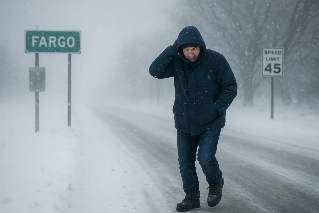
Winter Storm Warning: An Arctic cold wave and a fast-moving winter storm are forcing Winter Weather Advisories and Cold Weather Advisories across the Red River Valley, and the National Weather Service warns of wind chill values that could approach −40°F (−40.0°C) in spots.
If you live, work or travel through Fargo, this explainer tells you what the warnings mean, how low temperatures actually feel, how to convert Fahrenheit to Celsius, and the practical steps to stay safe during the next 48–72 hours.
We use official forecasts and local reporting to separate urgent facts from background context.
What’s happening now (Winter Storm Warning)
A cold Arctic air mass has moved into the Upper Midwest and the NWS has issued Cold Weather Advisories and winter products for the Fargo area.
Forecast language warns of dangerously low wind chills — Saturday and Sunday mornings could see wind chills falling into the −30s to −40°F range.
Local stations report the system also brought measurable snow, gusty winds and icy spots earlier in the week, and travel impacts persist on local roads.
Why wind chill matters (quick physics)
Wind chill is a calculated value that estimates how cold exposed skin feels when cold air moves across it; stronger wind = faster heat loss.
A wind chill of −40°F (−40°C) can cause frostbite on exposed skin in minutes — this is an immediate public-safety risk.
The National Weather Service consolidated some products recently: look for “Extreme Cold Watch/Warning” and “Cold Weather Advisory” for the clearest messaging in this season.

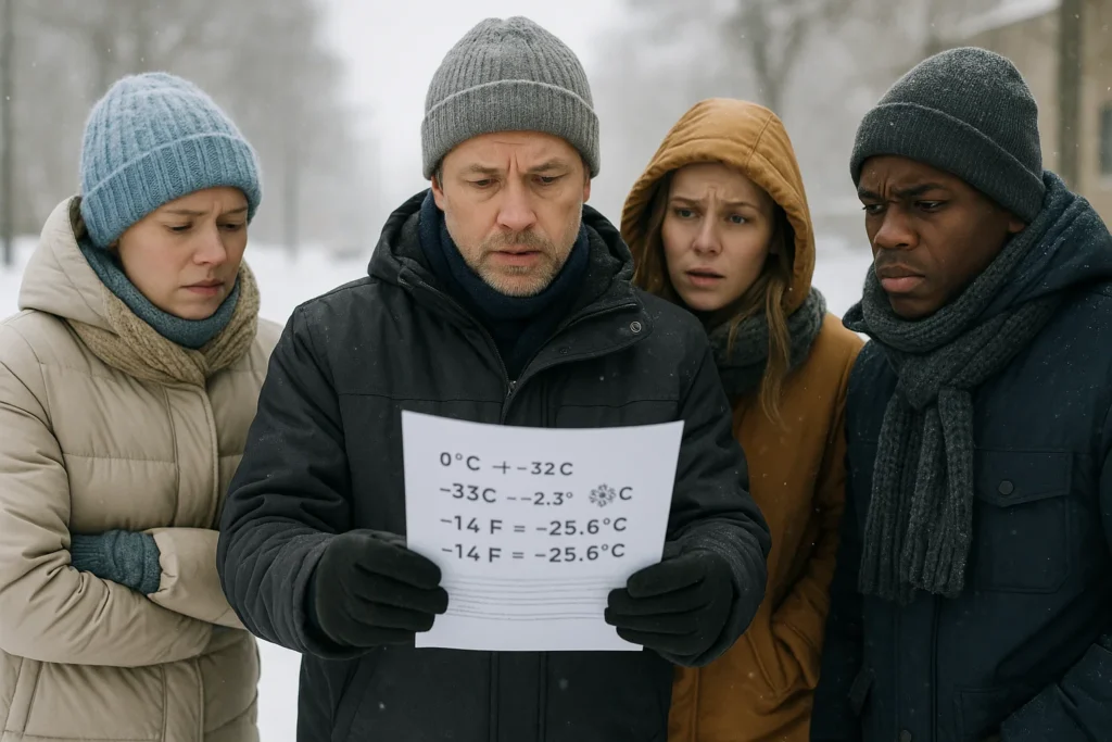
How cold is cold? Fahrenheit to Celsius — exactly
To convert Fahrenheit to Celsius use this formula: °C = (°F − 32) × 5/9.
Examples relevant to Fargo’s short-term forecast (rounded to one decimal place):
• −40°F = −40.0°C.
• −29°F ≈ −33.9°C (reported wind-chill feel in some locations).
• −14°F ≈ −25.6°C (common overnight lows in the advisory).
A practical rule: when numbers are extreme (below −20°F), small errors in conversion don’t change the safety meaning — it’s dangerously cold and requires action.
What the official forecasts say for Fargo (high-impact points)
The NWS forecast for Fargo lists a Cold Weather Advisory in effect through the next advisory window and highlights wind chill readings into the −30s overnight and early mornings.
Local meteorologists measured a record-setting December daily snowfall at Hector International Airport and warn of lingering slick spots and blowing snow that reduce visibility.
Regional outlets and national services characterise this as part of a larger Arctic outbreak affecting much of the Upper Midwest and parts of the Great Lakes and Plains.
Travel, power and school implications — what to expect
Expect hazardous travel during peak wind and snow periods: highways can become icy quickly and visibility may fall in heavy gusts.
School districts and employers may issue delays or closures; check local school and county pages for last-minute decisions tied to wind-chill and road conditions.
Power outages are possible where heavy, wet snow or high winds affect trees and lines; have a thermal plan in case heat is interrupted — layered clothing, an emergency phone charger, and a safe alternate warm location.
If you rely on medical equipment, confirm backup power and coordinate with local emergency services or suppliers now — don’t wait for outages.
Steps to stay safe — short checklist
- Dress in layers: inner moisture-wicking layer, insulating mid-layer, and windproof outer shell; cover face, hands and ears.
- Limit outdoor time when wind chills are below −25°F (−31.7°C); frostbite can occur rapidly at those conditions.
- Drive only if necessary: keep a winter kit, warm clothes, water, and a charged phone in your vehicle.
- Protect pets and livestock: provide shelter, unfrozen water, and extra bedding; bring small animals indoors when possible.
- Check on neighbours: older adults, infants and those with chronic illness are most vulnerable — a quick welfare check can save lives.
For commuters and logistics planners
If you manage travel or logistics, plan for slower speeds, delayed freight, and staged staffing for early-morning cold peaks.
Allow extra time for pre-warming vehicles, inspect anti-freeze and battery condition, and use winter-rated tires if travel is unavoidable.
Airlines and freight operators may cancel or re-route flights if runways are slick or winds exceed safe operating thresholds; monitor carrier advisories directly.
If operations are mission-critical, implement a tiered staffing and phone-tree notification plan to reduce last-minute exposure for non-essential staff.
How long will the cold last?
Models show a brief but intense Arctic surge with the coldest days concentrated over a 48–72 hour window, then gradual moderation as winds shift.
Even after air temperatures climb, lingering snow and packed ice will keep travel and frost risk elevated for several days — treat road surfaces as hazardous until documented clearances are posted.
Want to dig deeper? Where to watch for updates
Primary sources: National Weather Service Fargo (FGF) for watches/warnings and local hourly updates, and county/city emergency management pages for closures.
Local TV meteorologists and public-safety channels will issue situational updates on road closures, shelter openings and power outages as events evolve.
If you receive an emergency alert on your phone, treat it as official and follow the instructions; alerts are geo-targeted and time-sensitive.
A note on language — “winter storm warning” vs “cold weather advisory”
A Winter Storm Warning typically signals heavy snow, ice accumulation or blizzard conditions that make travel dangerous.
A Cold Weather Advisory or Extreme Cold Warning emphasises life-threatening cold and wind chill rather than snowfall.
For Fargo, the immediate public-safety threat this weekend is the extreme cold/wind-chill hazard layered on residual snow and patchy ice — treat both as active threats.
What’s your top winter concern right now?
Final takeaway — act early, stay layered, stay informed
The Fargo winter storm warning and Arctic cold wave are real and fast-moving: treat wind-chill warnings as immediate danger, minimise outdoor exposure, and follow official local advisories.
If you prepare now — warm clothing, an emergency kit, and a communications plan for family and co-workers — you reduce risk significantly and help emergency services focus on critical responses.
Stay safe, check official pages for updates, and warm up with caution if power or heat is interrupted.
Disclaimer: This article summarises publicly available forecasts and reporting as of the update time and is for informational purposes only.
For life-threatening emergencies call local emergency services and follow instructions from public-safety officials.