Key Points: Indonesia Earthquake Kills
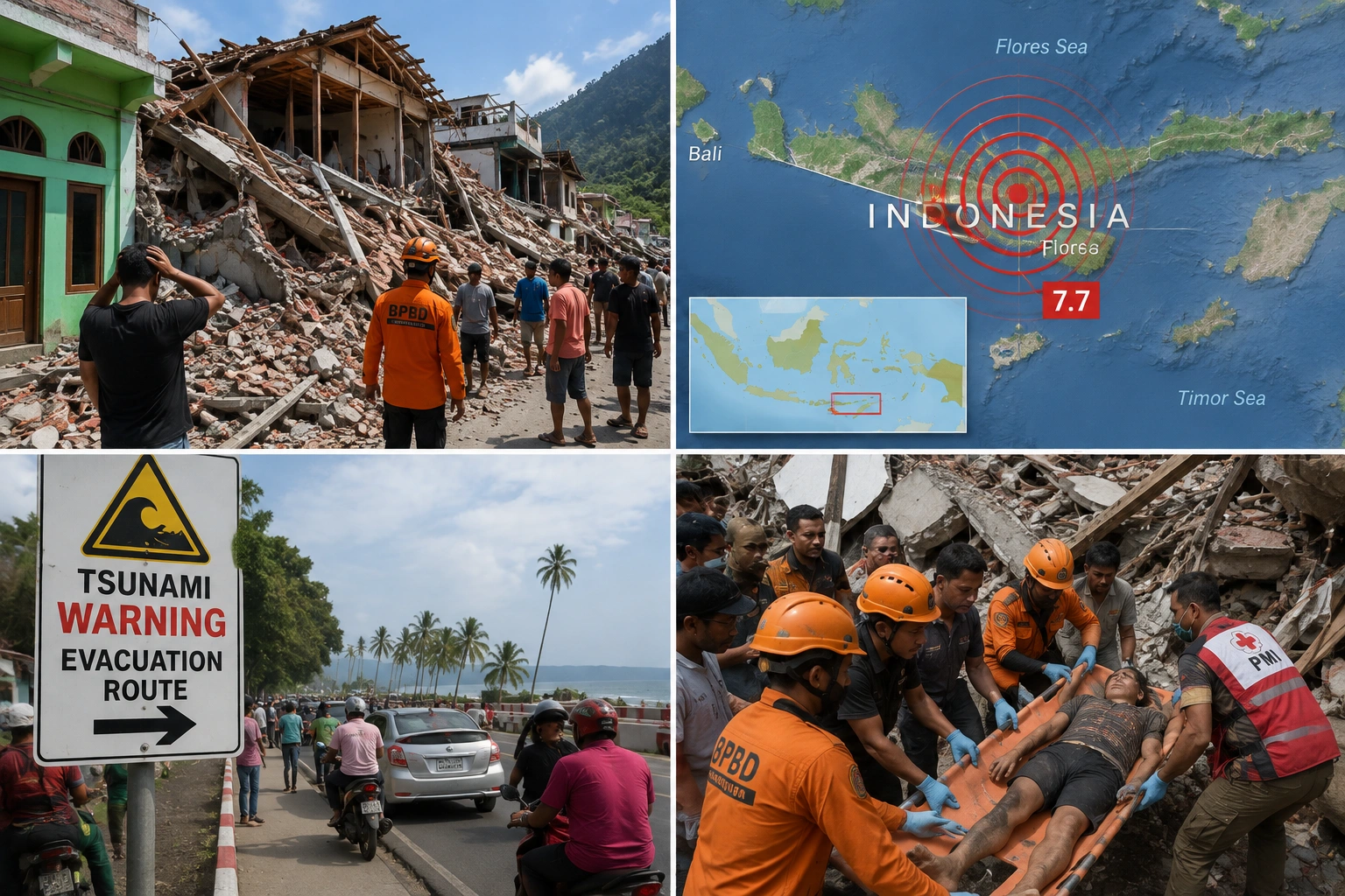
- Indonesia earthquake today registered magnitude 7.7 in the Flores region early Saturday
- At least two people died and two others were injured as buildings collapsed
- Authorities issued a tsunami warning for four provinces, later lifted within the hour
- This marks one of the strongest earthquakes recorded worldwide so far in 2026
A powerful earthquake tore through eastern Indonesia early Saturday morning, sending residents fleeing toward higher ground and triggering an immediate tsunami warning across multiple provinces.
What Happened During This Indonesia Earthquake
The magnitude 7.7 quake struck at 5:58 a.m. local time, according to the US Geological Survey, hitting Indonesia’s Flores region at a shallow depth of just 10 kilometers.
Here’s exactly where it happened. The epicenter sat roughly 68 kilometers north-northwest of Ende, a city in East Nusa Tenggara province.
Three significant aftershocks followed in quick succession, measuring magnitude 5.9, 5.6, and 6.1, continuing to rattle the region throughout the morning.
Confirmed Deaths And Damage So Far
Indonesia’s disaster management agency confirmed at least two people died and two others were injured, based on preliminary reports from the Maumere Search and Rescue Agency.
Here’s what happened on the ground as the quake hit. Video circulating on social media showed a building crumbling, with people screaming and running for safety during the strongest shaking.
Yohanna Embu, a resident of Sikka in East Nusa Tenggara, described the scene directly. “Many buildings here were damaged,” she said, describing panicked residents fleeing toward higher ground.
Hospitals took emergency precautions too. Local television footage showed staff evacuating patients outdoors, moving beds, IV stands, and oxygen cylinders to set up temporary treatment areas outside damaged facilities.
Why The Tsunami Warning Mattered So Much
Indonesia’s Agency for Meteorology, Climatology and Geophysics issued an immediate tsunami warning covering West Nusa Tenggara, East Nusa Tenggara, South Sulawesi, and Southeast Sulawesi provinces.
Officials urged residents specifically to stay away from beaches and riverbanks, moving instead toward higher ground while monitoring tide gauges for signs of actual wave activity.
That warning was ultimately lifted within the hour, though officials continued urging residents to remain alert given the ongoing aftershock activity.
Why This Region Faces Such Constant Risk
Here’s the geological reality explaining why this keeps happening in Indonesia. The country sits directly on the Pacific Ring of Fire, an arc of volcanoes and fault lines circling the Pacific Basin.
According to USGS records, this specific area has experienced 37 earthquakes of magnitude 6 or greater since 1950, including five additional quakes of magnitude 7 or larger within 250 kilometers of Saturday’s event.
Here’s a haunting historical parallel making this earthquake feel especially urgent to residents. A magnitude 7.8 quake struck just 63 kilometers away in 1992, triggering a tsunami that killed an estimated 2,500 people.
With aftershocks continuing and search efforts ongoing across the Flores region, authorities are urging residents to remain cautious as the true scope of Saturday’s damage becomes clearer in the coming days.